Malta’s continenental shelf is way bigger than its 316 km2 territory.
The Ministry for Finance and Employment, through the Continental Shelf Department, has launched the updated geological map of the Maltese Islands.
The geological map was last updated in 1993 when the map was published at a scale of 1:25000.
The map has now been resurveyed at a much more detailed scale of 1:10,000 by the British Geological Survey.
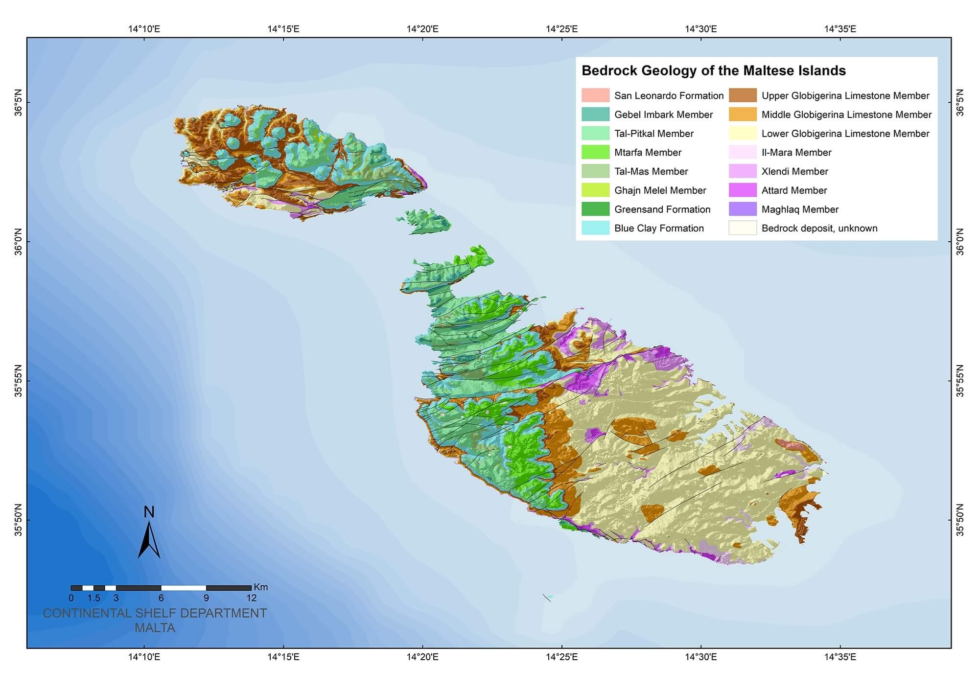
The updated map is based on information gathered from various sources including extensive field surveys.
A consultation process with various entities as well as a public consultation through the Continental Shelf department website have been carried out prior to the release of the map.
Although Malta’s Malta's territory comprises of just 316 km2 of land, its continental shelf impressively accounts to 70,000 km2.
This abundance of continental shelf presents an opportunity of Malta investing in renewable energy without visually effecting Malta's shoreline.