Another major infrastructure project incoming! This time in Pembroke and St Julian’s
More construction is on the horizon for the Maltese Islands, as a new €70 million project was announced by the Planning Authority, this time in the bustling areas of Pembroke and St Julian’s. It is projected to considerably cut travel time to St Julian’s, eliminate bottlenecks and also reduce the traffic in residential areas in the vicinities.
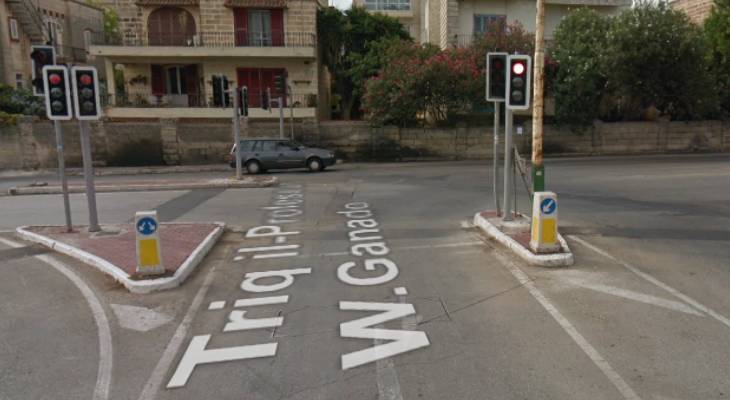
Screenshot via Street View / Google Maps
Here's what to expect
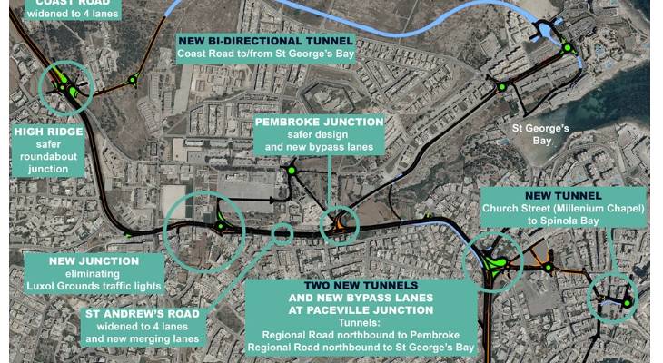
The above alterations will be done through taking down traffic lights, widening rods and constructing four new tunnels. The Pembroke-St Julian’s Connections project should take around two to three years to complete.
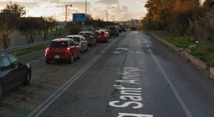
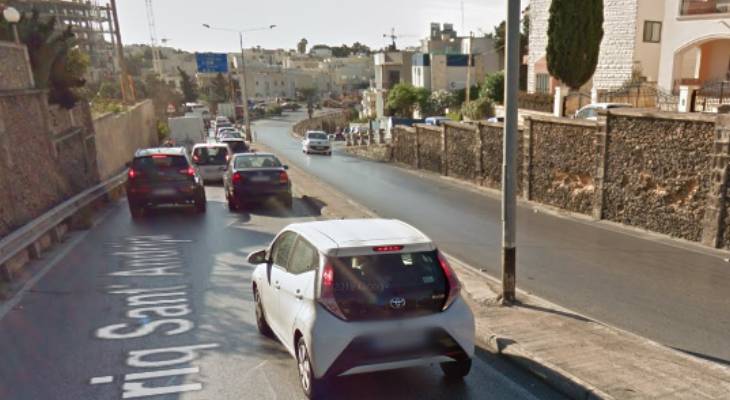
A spokesperson for Infrastructure Malta told Times of Malta that St Andrew’s Road (leading from High Ridge through Pembroke and down to the beginning of St Julian’s) will be reconstructed into four lanes.
Infrastructure Malta / Facebook
Four new tunnels
The longest of four new tunnels (1.5km) will connect the High Ridge area to St George’s Bay, giving easier access to the seaside area from northern towns, completely bypassing Pembroke and Swieqi residential areas. It will reportedly be an underground link with one lane in each direction.
A second tunnel will link the northbound carriageway of Regional Road before reaching the Paceville traffic lights to the south, and will just be 500m long. The third tunnel will connect this same route to St George’s Bay for a safer and more efficient way to using the traffic lights.
Screenshot via Street View / Google Maps
The fourth tunnel, which is expected to be 115m long, will be an underground connection from the Millenium Chapel in Paceville to St George’s Road in Spinola. This will reduce congestion in the outskirts of Paceville, creating a different exist from the party town.
Along with the tunnels, another connection will be constructed between Olive Street and Regional Road’s southbound carriageway, right before the Manwel Dimech Bridge, making it easier for residents to access the area without using the Paceville or Spinola junctions.
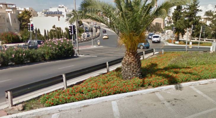
Screenshot via Street View / Google Maps
The traffic sitch
The spokesperson for Infrastructure Malta said that this project will improve public access to the busy towns and to several surrounding areas. Traffic and accident risks will be reduced and bottlenecks will be eliminated as a result of widening St Andrew’s Road – a primary road taking commuters up north or to the central town. The traffic lights near the Luxol Ground are also expected to be replaced with a roundabout to ease traffic flow.
Screenshot via Street View / Google Maps
Moving forward
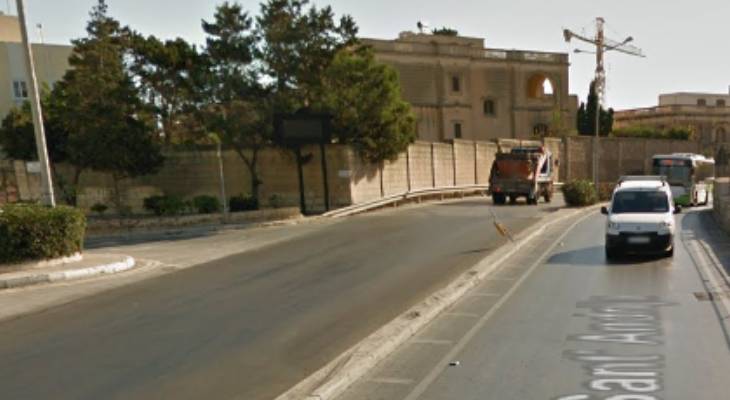
Plans are in the works and are expected to take a while, since other studies need to be conducted, namely a traffic impact assessment in the area as well as possible Environmental Impact Assessments (EIAs). Infrastructure Malta will be meeting with local councils, residents, organisations and stakeholders to discuss the plans going forward.
Screenshot via Street View / Google Maps
The project is still in the planning process, but it will see a different structure to the Pembroke-St Julian's route. What do you think about this new project?